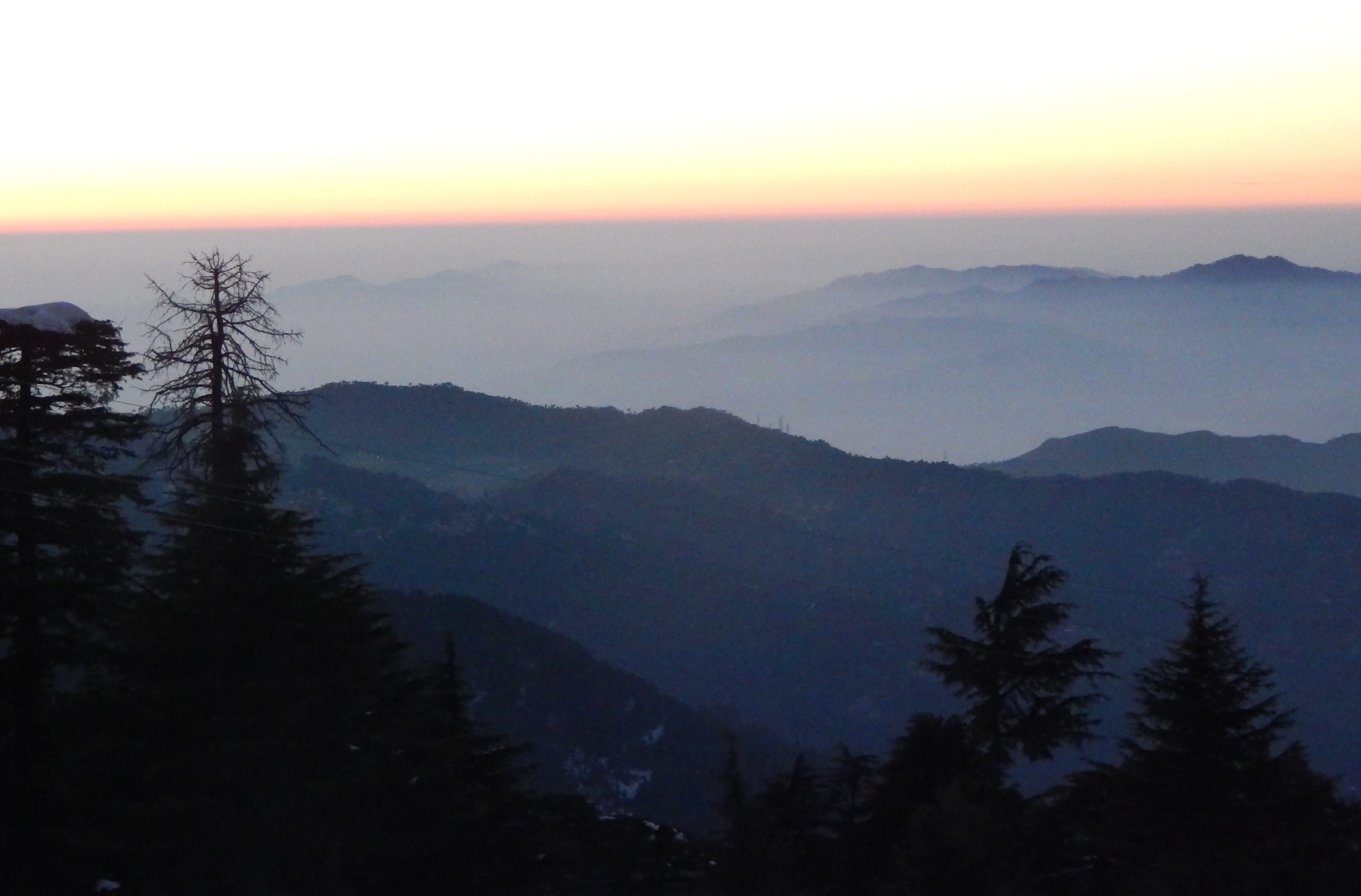
Netarhat Hill Station, alias Queen of Chotanagpur, is a popular hill station in Latehar district, Jharkhand, India. The highest point lies at 3,696 feet or 1,127 meters above sea level.

Netarhat Hills alias Queen of Chotanagpur in Jharkhand state.
Netarhat is a plateau covered with thick forests with an area of around 6.4 kilometers by 4.0 kilometers in the Pat region of the Chota Nagpur Plateau. This Hill station is the main hill station on the Jharkhand tourism map.
The hills are famous for their glorious sunrise/sunset in the summer season. Magnolia Point is one such magnificent viewpoint, at ten kilometers from Netarhat.
Koel View Point, at a distance of three kilometers from the center of the town, offers you an excellent view of the Koel River from a distance. Carrying a binocular helps in getting a better view here.
Upper Ghaghri Falls is at a distance of four kilometers, and Lower Ghaghri Falls is ten kilometers from the town.
Lodh Falls, the highest waterfall in Jharkhand, and Sadni Falls are at a distance of around 60 kilometers and 35 kilometers from Netarhat, respectively.
Betla National Park is also situated in the Latehar district.
How Do I Go to Netarhat Hill Station?
This Hill Station is at a distance of just 156 kilometers west of Ranchi, the capital of Jharkhand state. Hence it is also called a Ranchi tourist place.
Daltonganj, headquarters of the nearby Palamu district, is at a distance of 210 kilometers from Netarhat.
